If you are into GPS, then Everytrail.com is fairly simple concept. If you are not into GPS, you may become more interesting after checking out this interesting website.
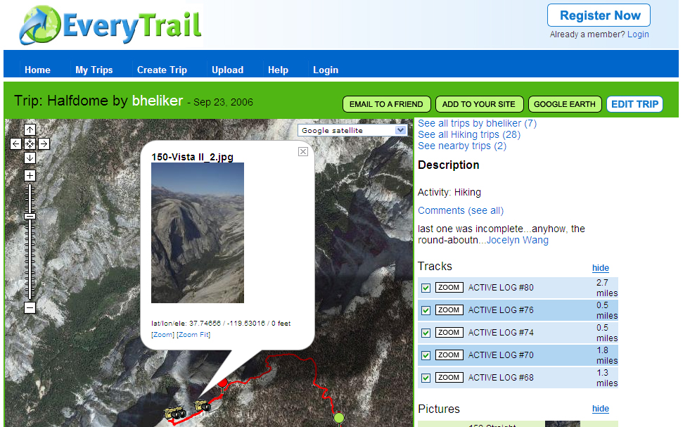
Everytrail.com allows users to mashup their GPS tracks and geotag them with photos and short comments. Comments are indeed quite short, so it is not really a full travel blogging application. Instead, the focus is on sharing your treks with the world on a Google Map -- preferably a satellite image. The image draw as a line tracing the route, and the user adds photo and text icons. Zooming in and out is a breeze, making this a is a very nice way to virtually experience a place!
The treks that were up on the site when I visited seemed to be very limited in the number of photos and comments that they included. I wonder if there is a limit. I tend to take a lot of photos on most any trip that I take -- several hundred a day, of which I keep about half. It seems that a high density of photos taken at ground level, combined with the Google satellite image, and short text comments, could go a long way to provide a virtual travel experience. Visitors can also comment on the trails.
Evertrail.com is a fun site, worth checking out.


No comments:
Post a Comment